
Simoultaneous Interconnected Transformation of Insular Maps
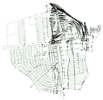
The task of this project was to connect insular maps with very different sizes, scales, accuracy and common quality (irregular distortions).
By using variable scale parameter equations and standard deviations for the local map coordinates, Systra could transform the pile of maps into one stressfree global coordinate system.
The following proximity fitting calculation could improve the result to further 25 degrees.