
Land Consolidation Horb-Grünmettstetten
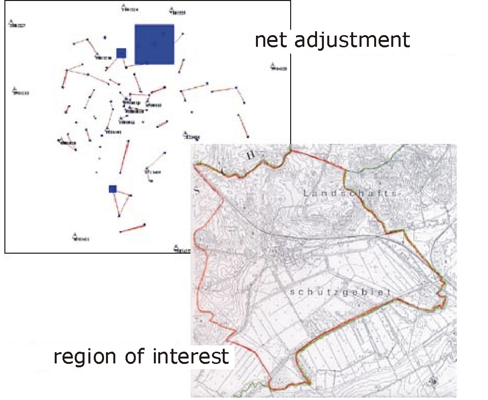
During a consolidation project in the German Bundesland Baden-Württemberg a new reference frame of about 18 square kilometers has been surveyed.
The frame contains 36 fixed and 386 new points. 267 GPS-double-measurements could be made directly. Because of the existing receiving shadows near to buildings or within forests local terrestrial measurements were added. The surveying campaign lasted about 4 weeks.
Using the combined adjustment strategy of Neptan/GPS, the calculation job could be done in only a few days. The resulting average point accuracy result achieved wash +/- 6 mm.