
Condensing a Cadastral Reference Frame
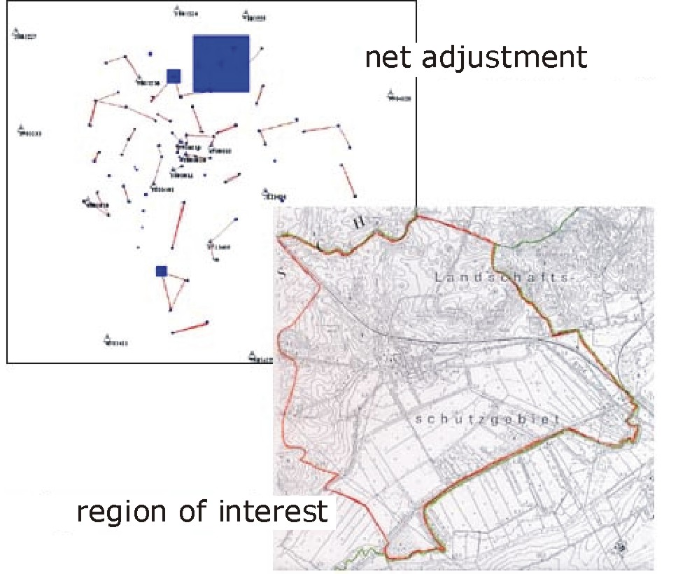
For regulation of real estate in the German Bundesland Mecklenburg-Vorpommern the surveying office Hermerding-Mittelstädt- Schröder projected the condensation of the surrounding cadastral reference frame.
- Points: 18 fixed points 343 new points
- Measurements: 416 GPS-measurements 519 distances / directions
- Resulting point accuracy: 0,3 cm < mp < 0,6 cm
To evaluate the new frame points the followings steps were necessary:
- existing points had to be checked and controlled,
- the new frame points were marked by using usual check procedures,
- theodolite and GPS-receiver of Leica were used,
- raw data was evaluated with Leica software too
Simultaneous adjustment of terrestrial and GPS measurements was finally done with Neptan/GPS.